As the definition says, to orient yourself is to find the east and, therefore, the rest of the cardinal points. But when we talk about an adventurer trekking, crossing, or exploring, always oriented through the cardinal points, this adventurer would have to master all possible orientation techniques.
Knowing and mastering orientation and terrestrial navigation techniques, cartography, and mastering positioning procedures on charts are essential to exploring nature without getting lost.
Maps, compasses, and GPS are instruments that we can use together or separately, but the important thing is to know the potential and limitations of each one.
Topographic charts
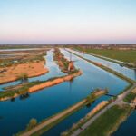
Cartography, in general, and topographic charts are the tools. Maps and charts are representations of portions of the earth’s surface that have been proportionally reduced (to scale) for viewing.
These representations on a plane have information that can be read directly (such as posts, towns, rivers, places, etc.), info that can be measured (distances, directions), and knowledge in three dimensions that must be interpreted.
Through altimetry, using heights (heights above sea level), contour lines, and equidistance, we can obtain cliffs, slopes, and slopes and identify edges and ravines; in this way, we can imagine the relief of the surface we observe.
Orientation
Find the east, and from there, the rest of the cardinal points: N, S, E, W, and based on these, the quadrants: NE, SE, SW, NW.
To find the east and the rest of the cardinal points, there are several methods and two groups that we will divide into natural and instrumental methods:
The natural methods of orientation: are derived from the stars. The movement of the sun and stars. The rising and the setting in the lexicon of stallholders, muleteers, and fellow citizens. The Southern Cross in the Southern Hemisphere. The mosses on stones and trees indicate the South, to name a few.
The compass, altimeter, and GPS give instrumental orientation methods. Each one has its benefits and limitations. It is important to know how to use each of their options to take advantage of their potential.
Position
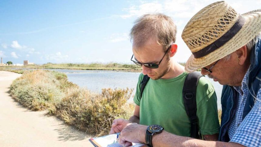
Knowing the position and locating it on the topographic chart is the key.
An element that must be taken into account is the line of position. A line of work in the city is a street or an avenue. We can say a road and a height and achieve a meeting point in the city. We can say the intersection of 2 highways and reach a position point.
In nature, it is the same. A river is a line of position seen on the terrain and the topographic chart. A direction is a heading from a reference on the ground that we can take to the topographic map as a direction angle and draw a line. There we will obtain a position line. By cutting two lines of position, we will reach the point where we are inside the chart.
The geographic coordinates read on the GPS display can be taken to the topographic map as parallels and meridians, and we can obtain a position. We can use several position techniques in topographic charts according to the instruments we have available. Compass, altimeter, GPS, visibility environmental conditions, ground references, through the triangulation method by geographic coordinates, plane coordinates, and polar coordinates.
Land Navigation
To navigate is to move from one position to another following a reference system. In the cities, we follow the streets and heights; on the ground, we follow different natural, artificial, and instrumental references to advance in a march, walk, or trek and always know where we start from and where we are going. When we have paths marked and signposted trails, navigation becomes apparent. When the waypoint (position point) of our destination is loaded in the GPS, there is a good signal, and the equipment has batteries, navigation becomes very simple. But when we are cross-country with variable visibility and have a topographical chart and compass, mastery of positioning techniques and compass navigation is vital.
These tools, techniques, and procedures must be known, mastered, and practiced. By gaining experience, we will be able to use them with greater precision, and they will give us many possibilities when planning and carrying out a journey, trekking, or exploration.
In addition, the topographic map has a lot of information that can be used in planning the trip. The level of information that it provides us allows us to know the type of terrain, relief, heights, vegetation, watercourses, distances, directions, and coordinates, and even calculate the backpacking time that the itinerary will require.